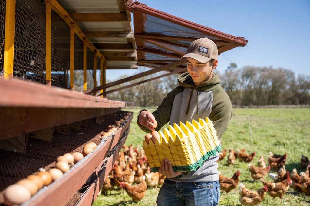
Policy Update: AFT Submits Comment on America the Beautiful Stewardship Atlas
On Monday, AFT submitted a comment to the Department of the Interior regarding their development of the American Conservation and Stewardship Atlas. The Atlas will be part of the Biden Administration’s America the Beautiful Initiative, which is based on an international effort to conserve 30% of lands and waters by 2030 – often referred to as “30×30.” This is AFT’s second comment on this topic. The first comment, submitted last spring, urged the Administration to include agriculture’s contributions toward the 30×30 goal.
The request for comment focused on questions about the development of an Atlas which would help to map “conserved” lands across the nation as a way of tracking progress toward the Administration’s goals. Our first step was defining our use of the words “conserved” and “protected.” For AFT, conserved means the long-term implementation of a management practice or suite of practices to support biodiversity and/or mitigate climate change, while protected means the use of an agricultural conservation easement, covenant, contract, or other instrument to ensure that a parcel of land is not developed, either permanently or for a period of time. This distinction was important because the Administration has yet to define these terms as they relate to agriculture in connection with this Initiative.
AFT recommended that the Atlas count the acres on which the following actions are undertaken towards the 30×30 goal:
On all agricultural land:
Any permanently protected farmland or ranchland,
All acres on which producers have undertaken long-term adoption of suites of practices defined by NRCS as providing habitat for pollinators and/or endangered species (e.g., planting native prairie strips), and
All acres on which producers have undertaken long-term adoption of suites of practices defined by NRCS as being climate-smart, particularly in-field conservation practices adopted through long-term contracts (e.g., 5 years or more).
On agricultural lands located within “America the Beautiful Priority Areas” (AFT is defining as wildlife corridors, prime habitat, riparian zones):
All acres on which producers have undertaken long-term adoption of suites of NRCS-approved wildlife-friendly practices (e.g., cover crops, native prairie strips, grass buffer strips, wildlife-friendly fencing).
To capture all of the activities producers undertake to support biodiversity, AFT recommended two tiers or contributions within the Atlas for agriculture. Tier One actions would be any of the above activities that were supported by a state, local, or federal contract that lasted at least five years, such as a conservation easement through ACEP, or a suite of conservation practices through CSP or EQIP Conservation Incentive Contracts. Only Tier One actions would be formally counted toward the Initiative’s 30×30 goals. Tier Two activities would include actions producers undertake which are not as easily counted or as durable, but which support biodiversity, such as shorter-term contracted conservation activities, (e.g. standard EQIP contracts), as well as any conservation or biodiversity-promoting practices implemented outside of a contract.
The comment also recommended that the Atlas:
Use AFT’s Protected Lands Database (PALD).
Prioritize landowner privacy when determining which land attributes to track,
Recognize the efforts to improve biodiversity at the state and local levels, including through Public Agricultural Conservation Easement (PACE) programs and CRP-CREP projects in Tier One, and land-use planning efforts in Tier Two,
Support the tools needed to quantify the environmental impacts of conservation practices, such as by establishing a new research initiative to generate the information needed to calibrate outcomes estimation models and developing a National Calibration Dataset.