A Closer Look at Western Drought and Wildfires from Wyoming

We’ve detected that you are using an outdated browser.

Please use a new browser like Chrome, Firefox, Safari or Microsoft Edge to improve your experience.

We’ve detected that you are using an outdated browser.

A Closer Look at Western Drought and Wildfires from Wyoming  

This article is part of a series of blog posts on drought in the western U.S., which include a look at California’s historic drought and a perspective from the Pacific Northwest. To watch our recent Livestream conversation on this topic, “Drought, Wildfires, and Climate Change: The Future of Farming in the West,” click here.  

As American Farmland Trust’s Water Resources Specialist I am constantly thinking about agricultural water issues.  I keep one eye on national-level ag water quantity and quality issues and solutions, and one eye at the local-level. Right now, I want to share stories about the Wyoming drought and watersheds right in my backyard – the Colorado and the Snake River Basins.

Low water levels due to drought are seen along Lake Mead’s canyon walls near Las Vegas, Nevada. Photo from Shutterstock. 

U.S. Declares First Water Shortage on Colorado River Amid Megadrought 

On Monday, August 16, the federal government officially declared a “water shortage” at Lake Mead – the largest reservoir on the Colorado River on the Nevada-Arizona border.  Rather than shocking, the announcement has been a long-time coming. Water shortages in the Colorado River Basin are a common dinner-topic in my neck of the woods in Wyoming, one of 7 states that rely on the river system for drinking water and food production. 

The cuts in water allocations from Lake Mead and Lake Powell to Nevada, Arizona, and Mexico (starting next January) are based on the 2007 Interim Guidelines2019 Drought Contingency Plan, and the seminal 1922 Colorado River Compact. These cuts have been lingering in the minds of water officials, farmers, ranchers, boaters, wildlife biologists, and other users since the area’s “megadrought” began in 2000. 

Cuts are likely to continue to increase and impact all Colorado River Basin states in coming years as a warming climate continues to reduce how much water flows into the Basin from rain and melting snow. We all have opinions as to what the “solution” is. Currently, ranchers in Wyoming are strongly advocating for multiple dams to secure the State’s portion of the Colorado River Compact water allocation. But others hope to lean more on demand management, which is the collective management of water demand in response to variable water supply. 

For my master’s degree in Agricultural and Applied Economics with a focus in Water Conservation from the University of Wyoming, I analyzed the costs and benefits of using less water on ranchland in the Upper Green River Basin (part of the Colorado River Basin). As seen in the photo below, one cost to reduced water use is purchasing hay to offset loss in hay yield from the usually irrigated fields.  My thesis won the 2021 Outstanding Master’s Thesis Award from the Western Agricultural Economics Association.   

I studied the multi-state Demand Management Pilot Program that ran from 2014 to 2018 that 4 states in the Upper Colorado River Basin (Colorado, New Mexico, Utah, and Wyoming) initiated to pay on average between $150 to $200 per acre-foot for reducing consumptive water use. Many ranchers were willing to participate by partially fallowing their land. In part due to the success of this Pilot Program, the 2019 Drought Contingency Plan integrates an Upper Basin Demand Management Program water storage agreement which lays the foundation for development of a permanent multi-state Demand Management Program that compensates users to reduce their water use. 

Cattle grazing on dry pastureland on a ranch in the Upper Green River Basin. Hay must be purchased to offset loss in hay yield due to  reduced water use. Photo by Ellen Yeatman.

In my research, I found that for ranchers to decrease their water use more substantially the public would have to be willing to pay for more of the costs to participation. This includes not only direct costs such as loss in crop yield, but also the cost of foregoing on-farm ecosystem services (such as irrigation-dependent wetlands, wildlife habitat, and late-season return flow), foregoing participation in their local economy, risking their water right apportionment, and increasing in-stream flow for various public benefits.  

This policy to pay people to use less of something is a common conservation policy that most of us have benefitted from directly. For example, state energy demand side management programs and electric utility companies fund incentives in the form of rebates or direct payments for consumers to purchase energy-saving light bulbs, refrigerators, air conditioners, etc. Of course, this is not an end-all solution, but just one prong of a multi-prong tool kit for building resilience from and living with drought.  

The residents of the Colorado River Basin are not alone in their battle against drought.  I now want to write about the river basin that I live in – the headwaters of the Snake River Basin, and events that have been happening for the last month and a half.   

West Coast Wildfires Clouding Wyoming Skies   

Since July 7, the Teton mountain views that epitomize western Wyoming have been shrouded in smoke. I live in Jackson Hole which millions of tourists travel through to see these iconic views while visiting Grand Teton and Yellowstone National Parks. Tourists and locals alike are suffering burning lungs, eyes, and noses, as is the experience for millions of people living in the West (see InciWeb map).  

Map of wildfires across the U.S. on August 18, 2021 from InciWeb Incident Information System.

See two photos below of the Teton Mountain Range that I took – one with smoke and another from crystal-clear day this summer. The contrast is alarming. The cause? Most of the smoke in Wyoming is coming from the Dixie Fire in northern California (at over 600,000 acres itcurrently the third largest fire in the state ever) and the Bootleg Fire in southern Oregon (over 400,000 acres). The thick smoke is a chilling (or dare I say “hot”) reminder of the vicious cycle of drought – larger fires lead to more greenhouse gas emissions which leads to higher average temperatures, longer summers, and shorter winters, which in turn leads to less total precipitation and snowpack which brings us back to less water and drier ecosystems.  

Teton Mountain Range on the border of Wyoming and Idaho on a smokey day versus a clear day (August 6, 2021). Photos by Ellen Yeatman.

Personal Experiences 

The smoky skies enveloping the Tetons (part of the headwaters of the Snake River) can result in unpredictable weather. A week or so ago, a lightning storm swooped through the valley, shooting lightning bolts every which way across the orange sky making me feel like the apocalypse was happening. We weren’t grateful for the rain it brought, but instead terrified of the fires it might start. Four fires were ignited by that storm squall. Around the end of July when the smoke parted briefly to reveal the Teton mountain range and the southern end of Yellowstone, my community, which relies heavily on the river and lake recreation industry in the summer, was shocked by the lack of snow. Rapid melting of snow in the spring and summer results in a very dry late summer and fall. The valley has also received very little rain throughout this summer. 

In early July, my friends stopped fishing locally in the afternoons as there is a lower chance of fish survival after “catch and release” due to the stress fish are under from higher water temperatures. Yellowstone National Park has recently banned afternoon fishing due to the high-water temperature.   

In addition to dangerously warm waters caused by drought, fires can hurt water quality due to increased sediment loading that occurs when fires kill trees and other vegetation keeping soil in place. Fish populations can steeply decline due to these fire impacts on a watershed’s forests and soil (e.g., a 2018 fire in the Animas River watershed of southwest Colorado led to 80% fish loss due to flooding and ash/debris flows from the fire-scarred landscape). 

In July, my friends and many other community members had to remove their boats from Colter Bay Marina due to historically low water levels on Jackson Lake Reservoir, which captures the young Snake River quickly after its formation. The Dam has been releasing 4 to 6 inches of water a day (over 4,000 cubic feet per second) since the beginning of July, a release plan that will drop Jackson Lake to its lowest level since 1987.  

This water is being released to make up for the massive water shortage facing the Snake River Basin and the parent Columbia River Basin. This water fulfills downstream senior water right holders, such as the Idaho farmers along the Snake River central plains. These farmers produce one-third of our country’s potatoes. Jackson Lake is currently only 48% full and projected to drop to 10% full.  Boating season in Grand Teton National Park is already short enough, so to shorten it by two months is devastating for boaters and this has large economic impacts. And I personally won’t be able to enjoy the majestic Jackson Lake from a boat this year! 

Jackson Lake at 40% capacity made evident by the exposed shoreline (prior to this marina closing). Photo by C. Adams, National Park Service.

Support for Food Producers to Cope with Drought 

On average across the U.S., 60-80% of freshwater resources are used for agriculture production. As water supplies dwindle and wildfires worsen in severity with increasing temperatures and decreasing precipitation, what does this mean for the agricultural community that we all depend on? Farmers and ranchers are learning how to do more with less. Fortunately, there is funding available through federal and state programs to incentivize producers to use less water through various mechanisms, such as upgrading irrigation and ditch infrastructure and temporarily fallowing fields. There are also emerging private sector water quality, carbon, and ecosystem services markets, which are incentivizing adoption of conservation practices that make fields more resilient to extreme weather. 

This June, the U.S. Department of Agriculture’s Natural Resource Conservation Service (NRCS) offered $41.8 million in conservation assistance for producers in drought-impacted states through the Environmental Quality Incentives Program in Arizona, California, Colorado, and Oregon. In my home state, the Governor of Wyoming launched a new website this year for monitoring and dealing with drought in Wyoming. And a third example of financial and technical assistance for drought is via USDA’s designation of counties as Primary Natural Disaster Areas triggered by drought, meaning producers in those counties qualify for emergency loans (e.g., money to pay for hay to feed cattle or crop yield loss due to drought). 

Western water law poses major issues to programs promoting the use of less water. The motto “use it or lose it” plagues the minds of western water users, but it is technically valid in most states’ water law. Already, senior water right holders are being regulated more and more frequently. Many organizations, water officials, and water users recognize the limitation of western water law’s prior appropriation system, especially in the face of drought. States are working diligently on solutions that work around this antiquated water law system (e.g., the 2019 Drought Contingency Plan which included 500,000 acre-feet of free storage at U.S. Bureau of Reclamation reservoirs in the Colorado River Basin for demand management storage).  

In the meantime, here at AFT we are working on an individual field-by-field basis to help agricultural producers build climate resiliency and reduce their unintended impact on water quality and water resources.  

AFT Efforts to Build Soil Health to Increase Resilience to Extreme Weather  

We at AFT help to get federal and state grant funding into the hands of producers so they can invest in climate resilient practices and receive technical assistance along the way. One of AFT’s missions is to promote soil health practices that are proven to have climate resiliency benefits. In terms of water resources, soil health practices such as cover crops, reduced tillage, nutrient management, and conservation crop rotation increase the soil’s available water holding capacity. This means over the long-term, working lands implementing soil health practices will be more resilient to drought AND flooding. Soil health practices also enhance water quality by curbing soil erosion and reducing nitrogen losses.   

AFT’s Water Initiative also realizes that producers need to understand the anticipated costs and benefits of soil health practice use, so we developed a predictive soil health economic calculator (P-SHEC) Tool, which will be released to the public this Fall. The P-SHEC Tool calculates changes in yield, soil fertility, available water holding capacity, machinery, nutrient, pesticide, and other costs and benefits associated with soil health practices.  

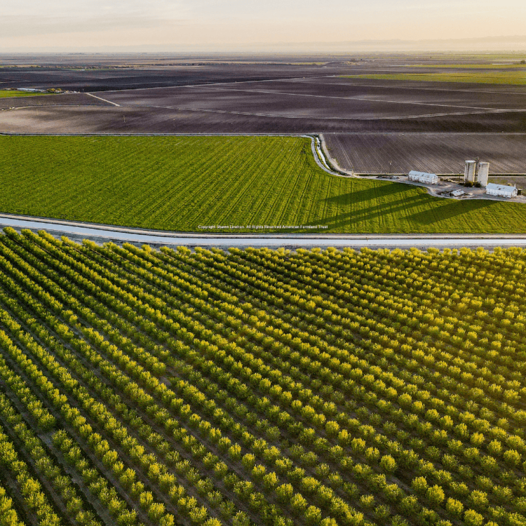
AFT’s California Team interviewed and featured case studies on two “already soil health successful” almond growers for a Retrospective Soil Health Case Study using our R-SHEC Tool (developed prior to the P-SHEC Tool and currently available to the public via our website). Both growers have adopted mulching, compost application, cover crops, and nutrient management. Both believe these soil health practices led to increased soil organic matter and improved water holding capacity.

Tom Rogers believes the improvements in his soil health plus his investment in a more efficient irrigation system helped him reduce irrigation applications, saving $95 per acre each year in decreased water and pumping costs ($16,625 per year). The drip irrigation system combined with a sound irrigation and fertilization strategy also reduces soil nitrate leaching, improving water quality. Overall, AFT’s analysis using the R-SHEC Tool, found that Tom Rogers and Ralf Sauter, the other almond grower, increased their net income respectively by $76,155 per year after 14 years and $173,345 per year after 11 years of using soil health practices. We strive to tell and implement success stories like these across the West! 

The Water Initiative and the California Team are now partnering with the Almond Board of California (ABC) to develop a water use-focused economic calculator that follows the same strategy as the P-SHEC Tool. This ABC-AFT Tool will analyze the costs and benefits of adopting holistic irrigation efficiency and management systems on almond orchards that result in water use savings and healthier, more sustainable orchards. Almonds and alfalfa for hay (grown in Wyoming) consumptively use a similar amount of water. With my experience working with ranchers growing alfalfa and analyzing how they can use less water, I look forward to translating that knowledge to almond orchards. Additionally, AFT’s California team just secured a USDA Conservation Innovation Grant that will fund the development of an irrigation efficiency and management system economic calculator for other specialty tree crops.  

By analyzing the costs and benefits of practices, policies, and programs, AFT is striving to lower unintended environmental harms from food production and make farmers and ranchers more resilient to climate change.  

This article was written in collaboration with Michelle Perez. Thank you! 

For more information on the Water Initiative please contact Ellen Yeatman, Water Resources Specialist, eyeatman@farmland.org 

Related Posts: 

Historic Drought

Soil Health Bottom Line

Farmers Combat Climate Change in PNW 

About the Author
Ellen Yeatman

Agricultural Economist & Water Research Manager

eyeatman@farmland.org

Read Bio